
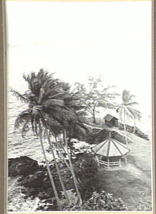
Source: Fisher, Mark, Photograph: Samarai, 026591, Australian War Memorial, Canberra Australia
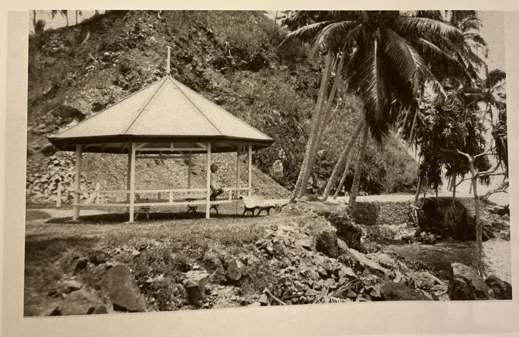
Source: Graeme Golden, Images of Old Samarai, Blurb Inc,2018
The rotunda was once located on the southern tip of Samarai island. Connected to the town centre via Campbell’s Walk, it was a social amenity and site for gatherings amongst the island’s European population. Appears to have been survived World War Two as evidenced by the picture taken by Mark Fisher in September 1942, after the town centre had been destroyed. The rotunda was shown on the 1954 commissioned town map of Samarai as ‘E.M.A Bungalow’ with a sanitary building adjacent.
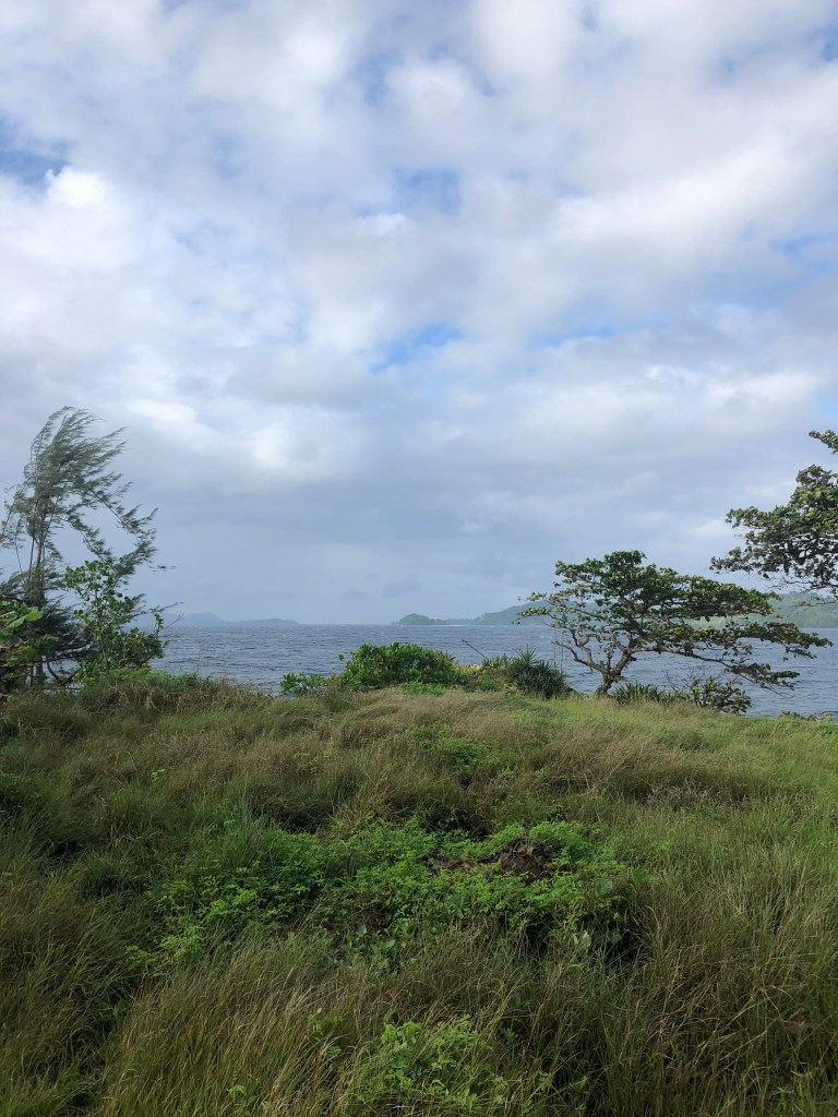
Today, the southern tip of the island appears to have been significantly terraformed since this first photo was taken. The small outbuilding and the rotunda are no longer standing, and the exact site of their location has been obscured by the changed landscape. Current area is overgrown and unmaintained.
Sources:
Fisher, Mark, Photograph: Samarai, 026591, Australian War Memorial, Canberra, Australia
1954, Town of Samarai, Milinch of Loani, Fourmil of Samarai , [Papau New Guinea viewed 13 May 2026 http://nla.gov.au/nla.obj-740923139]

